The HarvestChoice AgMarketFinder Tool is a collaborative development innovation from IFPRI , Esri , and SpatialDev .
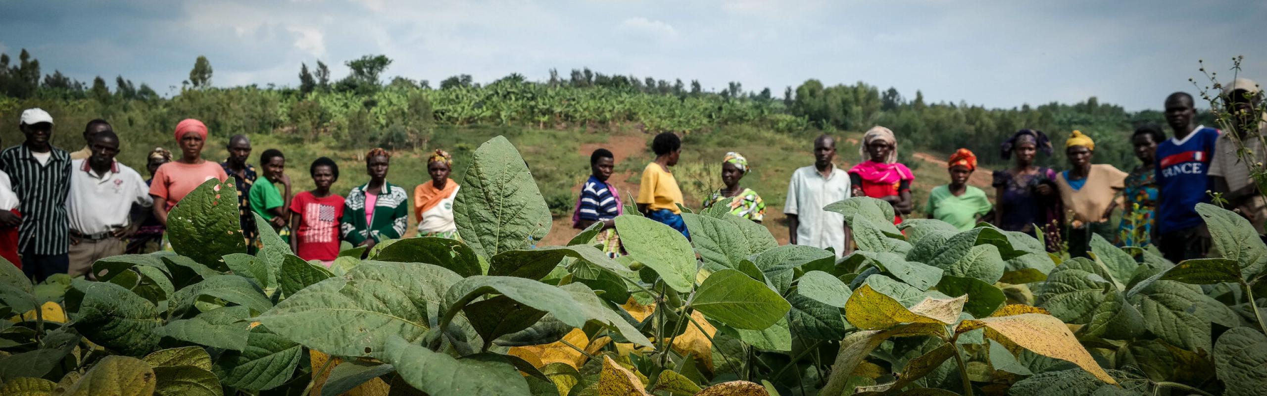
Subsistence agriculture, with its extreme drudgery and small, unpredictable rewards, remains the predominant livelihood of the vast majority of rural households of sub-Saharan Africa. Raising the productivity of subsistence agriculture in sustainable ways is increasingly seen as not only a pathway out of smallholder poverty and hunger, but also as a way of enabling household resources – particularly the time of women and children who bear a disproportionate burden of Africa’s agricultural labor– to engage in more productive endeavors. Achieving the broad-scale transformation of subsistence agriculture, however, will require significant growth in the provision and uptake of public and private services and products. Examples are improvements in land registration, credit, crop and livestock extension, and veterinary service provision, as well as greater access to input supplies such as improved seeds, fertilizers and agricultural implements, and machinery. Greater opportunities for smallholders to market their farm products are also needed through improved access to farm product collection and sales points as well as storage, processing, and transit facilities.
While public agencies and private entities – both local and (inter)national – are increasingly willing to invest in supporting smallholder transformation for a range of humanitarian, economic growth, and commercial reasons, there remain many practical obstacles. One of those challenges is identifying the most appropriate locations for service and support facilities. For example, to be assured of adequate demand, farm input and production service providers need a sufficient number of farm households, hectares of cropland (or areas planted to specific crops), or livestock populations close to their operation bases. Similarly, enterprises dealing in farm outputs need to assess the reliable scale of supply to sustain local aggregation, storage and processing facilities or potential national, regional, and international marketing operations. And, furthermore, both public and private enterprises will likely be eager for statistics about populations – both urban and rural -- within practical reach of planned service centers or business locations who may represent target clients or customers, welfare beneficiaries, or source of labor.
Recognizing these specialized, location-based information needs and the opportunity to help address them, the HarvestChoice team at the International Food Policy Research Institute (IFPRI) designed a query tool to help pinpoint and evaluate locations across Africa in terms of their potential suitability as operational bases for supporting smallholder development efforts. This initiative was made possible through the team’s prior work in compiling, generating, and harmonizing many relevant spatial (mapped) data layers. To realize this concept, HarvestChoice partnered with SpatialDev , a Seattle-based spatial software development company. Subsequently, building on IFPRI’s partnership with Esri , the software company donated the specialized services of its Applications Prototype Lab to the effort. The initial prototype, AgMarketFinder , was launched in 2009 and was showcased at the Where2.0 Conference in 2009.
The AgmarketFinder tool allows users to examine the service and market potential of any geographic location in sub-Saharan Africa through a map-based user interface. The spatial query launched by the user gathers information on the area and production of 20 principal crops; rural, urban, and total human population; and the population of major livestock species within service or market geographies defined by one of three spatial query options. The most detailed results are provided by the travel time-based query that generates estimates of crop production and human and livestock populations within different travel time bands (0-2, 2-4, 4-6 and 6-8 hours) from a user-specified location. Other query options generate information about these indicators according to either a user-selected administrative unit or according to user-drawn boundaries that designate a customized geographic area of interest.
“Initial user response has been extremely positive”, says Stanley Wood, the Senior Research Fellow leading IFPRI’s HarvestChoice team, “and we’re working to improve the quality and range of the underlying data as well as to expand awareness of the tool among our target audiences”. “The launch of our re-vamped HarvestChoice website that will embed AgMarketfinder, expected in the fall of 2011, will be a major milestone toward that end”, he added.